DAWA ZANGMO | Thimphu
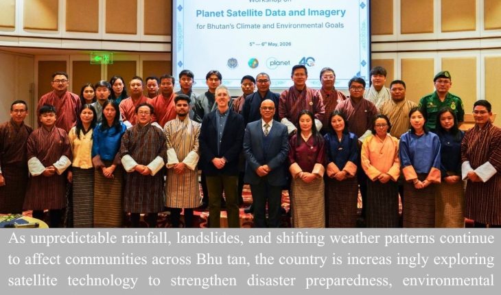
As unpredictable rainfall, landslides, and shifting weather patterns continue to affect communities across Bhutan, the country is increasingly exploring satellite technology to strengthen disaster preparedness, environmental conservation, and development planning.
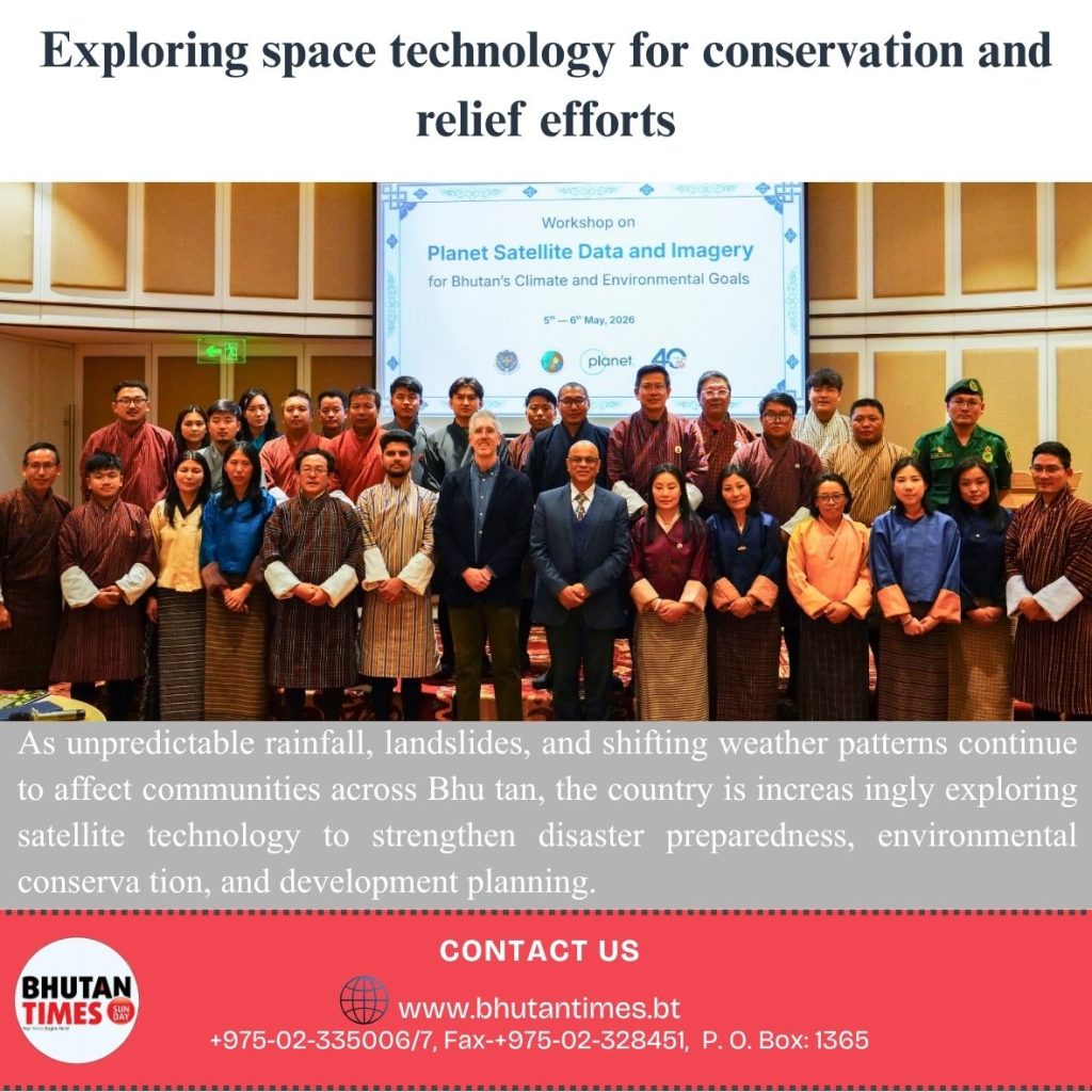
A recent training and consultation programme held in Thimphu brought together experts, government agencies, and stakeholders to examine how satellite-based data and imagery can support climate resilience and improve decision-making across different sectors.
Officials and scientists at the workshop highlighted that satellite imagery provides a comprehensive national overview, allowing authorities to monitor environmental risks and respond more effectively to emergencies.
The technology can help identify areas vulnerable to landslides, forest fires, and water shortages, enabling agencies to take preventive measures and improve preparedness before disasters occur.
The initiative is being led by the Bhutan Foundation and the National Land Commission Secretariat in collaboration with Planet Labs, an international satellite imaging company established by former NASA scientists. The company specializes in providing high-frequency satellite imagery capable of showing changes on the ground in near real time.
Cristopher Anderson (PhD), Lead Scientist for Forest Ecosystems, said satellite technology is essential in providing a broad overview of the country while also offering detailed information on areas facing environmental risks and management challenges.
According to him, satellite data can support authorities in identifying vulnerable zones and coordinating response measures more effectively.
He said landslides remain a major concern in many regions and added that access to accurate and timely information could improve emergency response and wildfire preparedness, particularly as rising temperatures and limited water availability increasingly affect forest ecosystems.
He explained that having a common operational picture through satellite imagery would help agencies strengthen coordination and preparedness efforts during emergencies.
Access to high-quality satellite imagery has long been a challenge for many agencies in Bhutan. He noted that institutions often depend either on costly commercial data or freely available images that do not provide the level of detail required for planning and monitoring activities.
Through the current collaboration, Bhutan is expected to gain access to high-resolution satellite imagery covering approximately 15,000 square kilometres.
Officials said the imagery would allow users to observe nearly 40 percent of the country’s total land area within a single image while still maintaining enough clarity to identify detailed ground features such as rivers, forests, and land-use patterns.
The data will be provided free of charge by Planet Labs for a period of three years. However, officials stated that discussions regarding access beyond the project duration have yet to take place.
Cristopher Anderson said the initiative aims to support a wide range of environmental and development-related applications. He noted that environmental information gathered through satellite imagery could assist agencies in monitoring water quality, carbon storage, and forest health.
He added that the project is expected to support the priorities of various agencies by improving access to reliable environmental information needed for planning and management activities.
Norbu Dema, Country Director of the Bhutan Foundation, said government agencies currently face limitations in accessing high-resolution imagery due to financial and technical constraints.
She explained that technical institutions such as the National Land Commission Secretariat, the Department of Forest and Park Services, and the Department of Environment and Climate Change either purchase data or rely on freely available sources that may not offer the desired resolution.
According to her, the programme is expected to provide highly precise and high-resolution imagery for selected priority sites, allowing field activities and conservation work to be guided by more accurate information.
Participants attending the workshop also shared how the training strengthened their understanding of applying satellite data for environmental monitoring and conservation planning.
Senior program and communication officer with Bhutan for Life, Kuenzang Tobgay who attended the training program said the programme improved his practical knowledge of using satellite imagery for real-time environmental monitoring and informed decision-making.
He said high-resolution imagery could be used to monitor deforestation, assess land-use changes, and support plantation planning through advanced datasets, including soil moisture measurements.
He further noted that the knowledge and tools introduced during the training would contribute to evidence-based conservation efforts under Bhutan for Life.
According to him, satellite technology could support the monitoring of forest cover changes, detection of illegal activities within protected areas, and improvement of habitat and plantation management practices.
Kuenzang Tobgay also said there is potential to pilot satellite-based approaches in Bhutan for Life project sites to generate information on forest corridors, climate resilience, and wildlife habitats.
“I believe this will be highly beneficial for mapping priority biodiversity conservation, forest resource management, as well as land-use classification and zoning for national projects,” said Sonam Wangdi, Chief Program Officer of the Bhutan Trust Fund for Environmental Conservation.
This initiative improved access to environmental data and monitoring tools is expected to strengthen the country’s ability to respond to climate-related risks and support sustainable development efforts in the future.
The organizers added that more accurate and timely information could contribute to safer communities, stronger agricultural planning, and more effective climate action across the country as Bhutan continues to face the growing impacts of climate change.